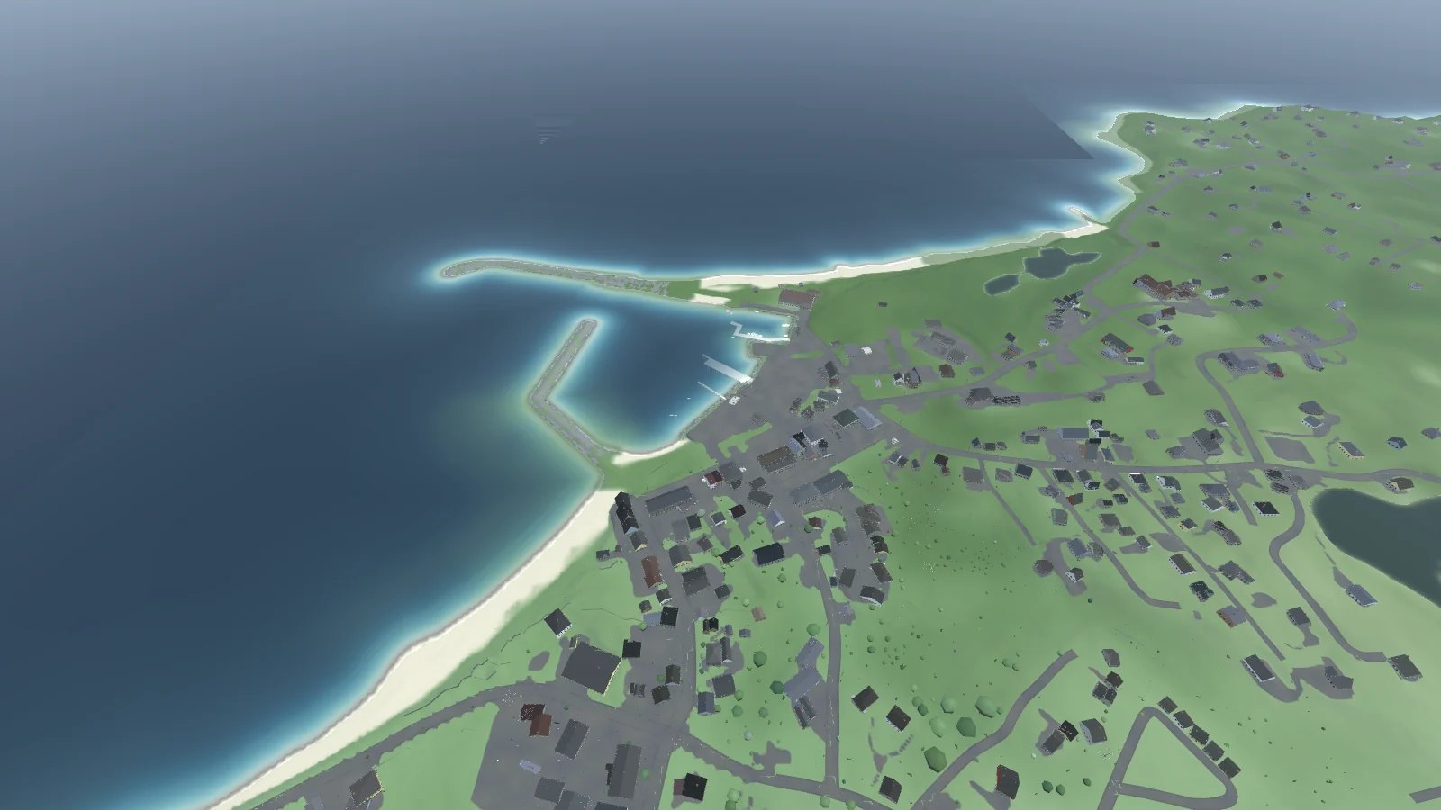
Old Harbor from the air: the breakwaters and the ferry landing, the town's streets and roofs, Crescent Beach running north and the island's green interior beyond

BLOCK ISLAND
SIMULATOR

the real island, at 1:1 · in development

Block Island, Rhode Island, measured rather than designed. The ground is USGS lidar at one metre, so every hill, bluff and pond is where it is, and it is a real 9.6 km on foot from Sandy Point to the Mohegan Bluffs.

All 3,240 buildings stand where buildings stand, their footprints, heights and roofs read from the same survey. Both lighthouses light. The sun, the tide and the weather are the real ones for the date you play.

Walk it, sail it or drive it, starting at Twin Maples on Beach Avenue.
// on the island //

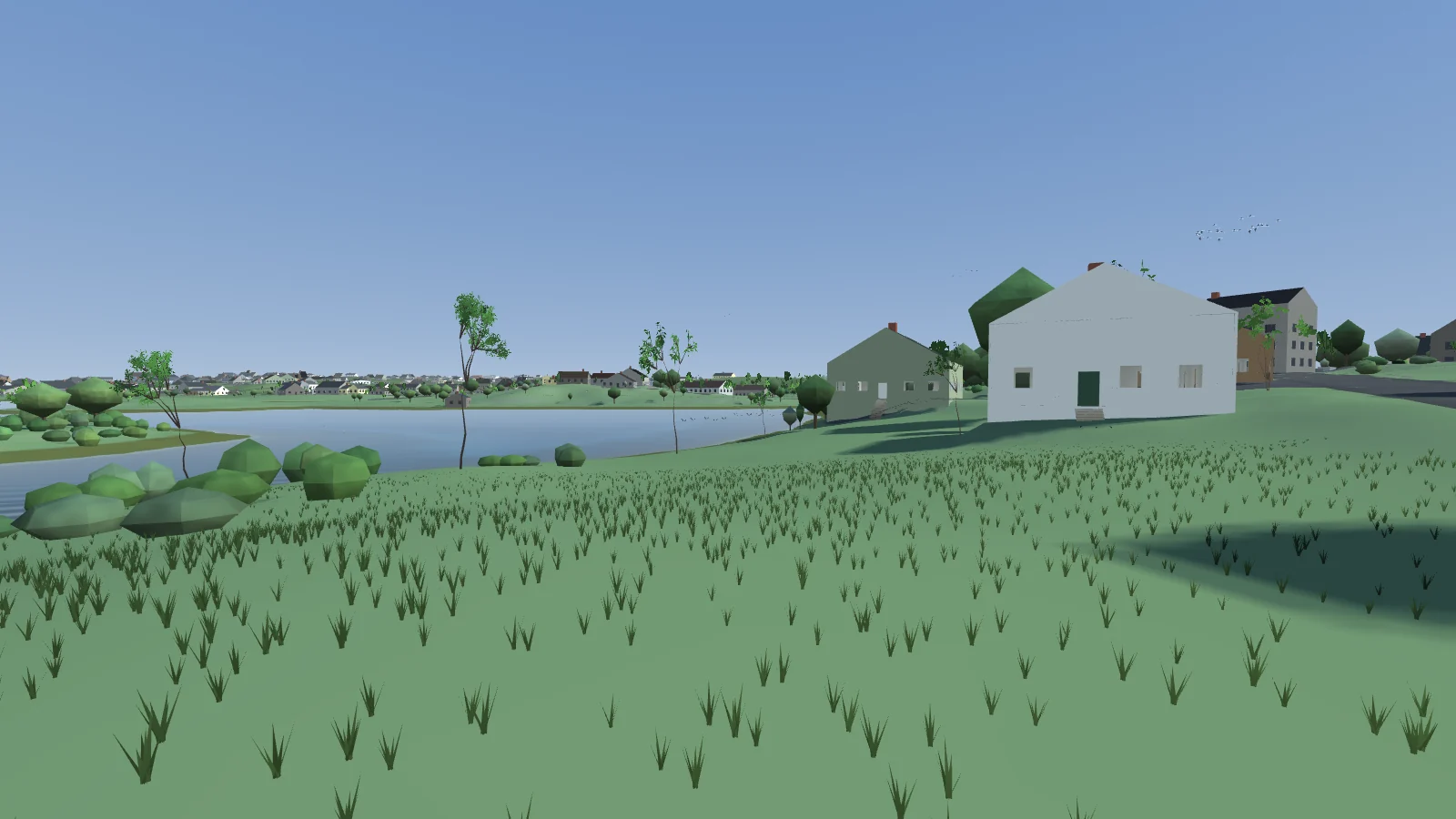
Twin Maples on a summer afternoon: a white cottage and a green one on the rise above Trims Pond, the town strung along the far shore
Twin Maples, above Trims Pond
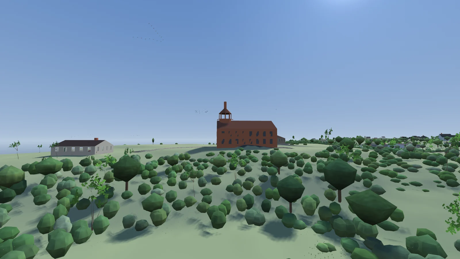
Southeast Light on the Mohegan Bluffs: the brick keeper's dwelling with its tower and lantern at one end, a white outbuilding beside it, low scrub falling away in front
Southeast Light, on the Mohegan Bluffs
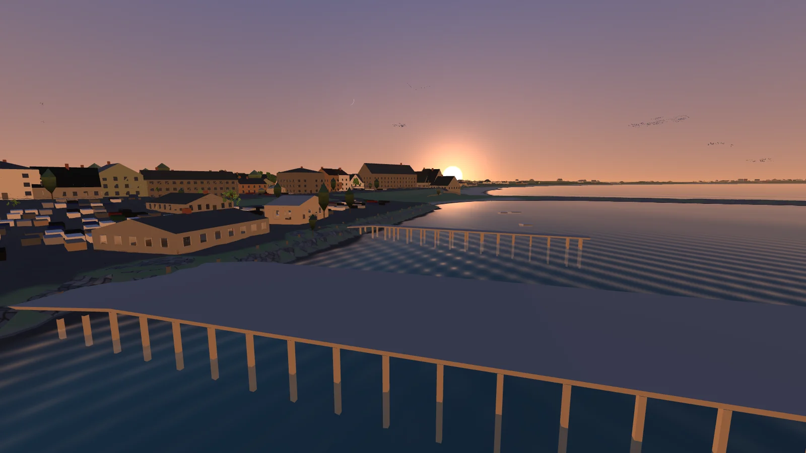
Old Harbor at sunset: the waterfront hotels lit orange, the ferry dock's pilings in the foreground and the sun going down over the town
Old Harbor at sundown
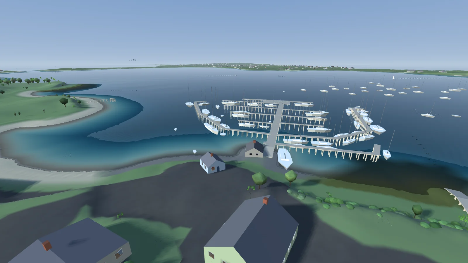
New Harbor on Great Salt Pond: the marina's docks full of sailboats, moorings beyond, and the island's west side across the water
the marina on Great Salt Pond
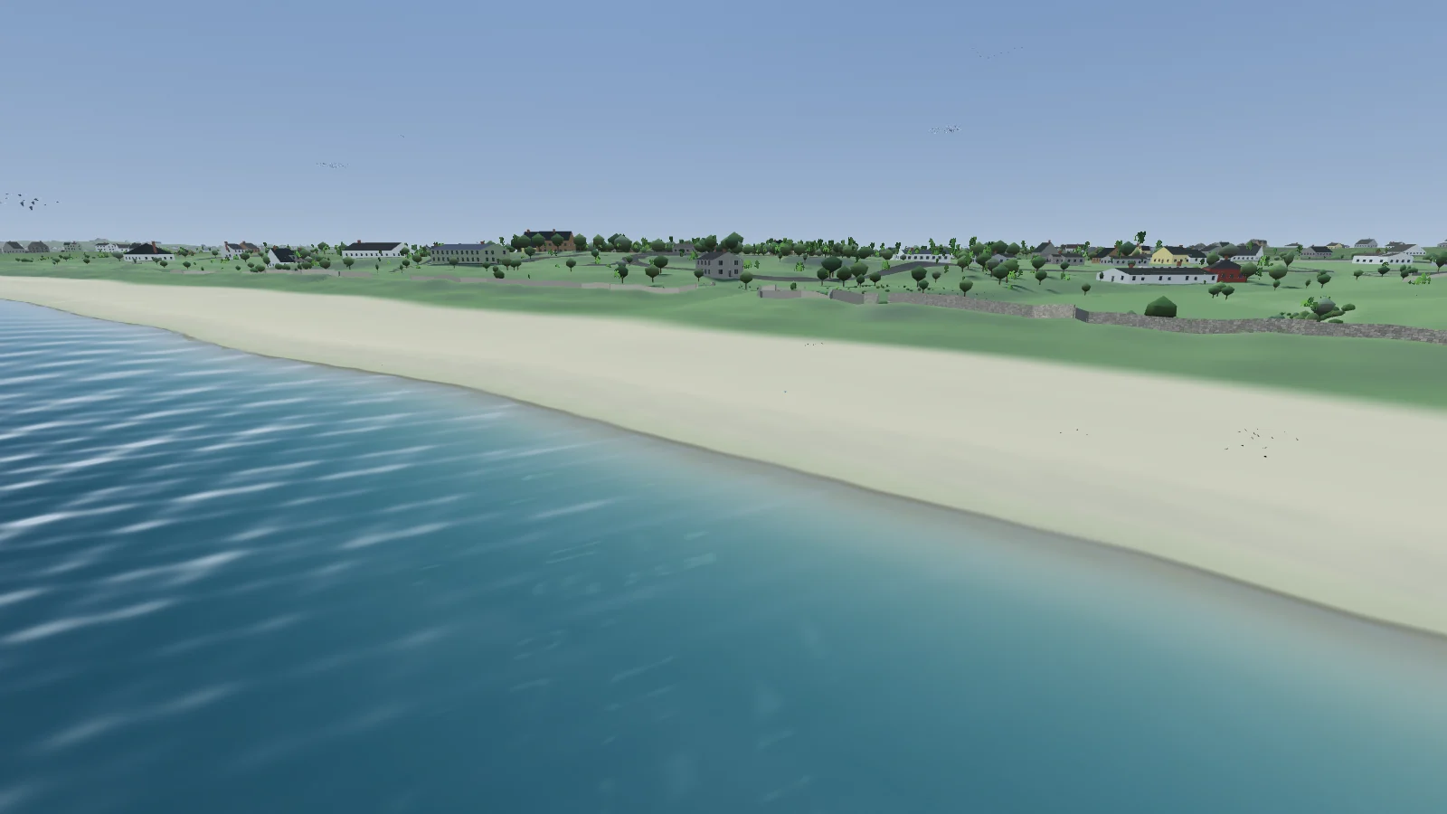
Mansion Beach from the water: a long pale beach, stone walls and houses on the green above it
Mansion Beach

// where to play //

DESKTOP
Windows, macOS and Linux. Builds go to testers for now, and there is no public release yet. IN DEVELOPMENT
BROWSER
the same island in WebGL2, not yet released. IN DEVELOPMENT

// built with //

daffodilterrain engine · C99

// credits //

game by magmacrunch media

terrain USGS 3DEP 1 m lidar, public domain

starts at Twin Maples